
GGPEN and Africell Angola Launch GEDAE to Transform Angola’s Geospatial Sector


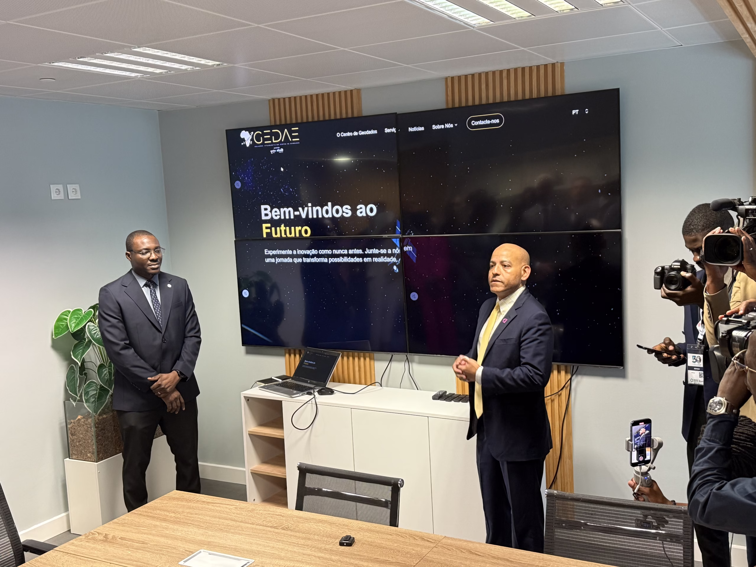
On the sidelines of ANGOTIC 2025, currently taking place in Luanda from 12–14 June, the Angolan National Space Management Office (GGPEN) and Africell Angola have officially launched GEDAE, Soluções Inteligentes do Centro de Geodados, a next-generation geodata centre poised to revolutionise Angola’s geospatial capabilities and digital transformation.
The launch event was attended by high-level dignitaries and space leaders, including H.E. Mário Augusto da Silva Oliveira, Minister of Telecommunications, Information Technologies and Social Communication of the Republic of Angola; Jorge Vazquez, CEO of Africell Angola; Prof. Sherif Sedky, CEO of the Egyptian Space Agency; and Dr Zolana João, General Manager of GGPEN.
GEDAE’s Mission and Technological Edge
The Geodata Centre is the first infrastructure in Angola, designed to transform how the country collects, stores, analyses, and applies geospatial data. This pioneering centre plays a strategic role in Angola’s digital modernisation by making geospatial intelligence accessible and valuable for multiple sectors of society.
GEDAE represents a strategic evolution of GGPEN’s former Space Applications Development Unit, now reborn as a state-of-the-art geospatial excellence centre through a partnership with Airbus Angola. The centre will harness Earth observation data, artificial intelligence (AI), and big data analytics to drive Angola’s digital transformation and sustainable development.
Furthermore, GEDAE’s core mission is to maximise the value of geospatial data, providing actionable insights for public and private sector modernisation. By leveraging high-resolution satellite imagery, AI, and machine learning, the centre delivers real-time, high-precision data solutions tailored to critical sectors, including:
- Agriculture (precision farming, crop monitoring)
- Urban Planning (smart city development, infrastructure mapping)
- Environment (deforestation tracking, climate resilience)
- Security & Defence (surveillance, disaster response)
- Energy & Mining (resource exploration, operational efficiency)
GEDAE’s Cutting-Edge Geospatial Solutions & Services
GEDAE, Angola’s premier Geodata Centre, offers a suite of advanced Earth Observation (EO) and geospatial intelligence services designed to empower businesses, government agencies, and development organisations with data-driven decision-making tools. Below are the key solutions available:
Customised Thematic Reports
Tailored reports on critical topics, updated periodically, including:
- Land Use & Cover Changes (deforestation, urbanisation)
- Environmental Monitoring (water resources, pollution)
- Natural Risk Assessment (erosion, drought)
- Sustainable Development Indicators (SDG tracking)
On-Demand Satellite & Drone Imagery
GEDAE provides real-time and archival imagery in varying resolutions:
| Resolution | Sensor Type | Use Case |
| 30cm | Optical (Pléiades Neo) | Precision agriculture, cadastral mapping |
| 50c | Radar (SAR) | All-weather monitoring (floods, oil spills) |
| 1.5m | Multispectral (Sentinel-2) | Large-scale environmental studies |
Key Features:
- Near real-time updates (critical for disaster response)
- Multi-sensor fusion (optical + radar for accuracy)
- Orthophotos for engineering-grade precision
Analytical Maps & Geographic Visualisations
Interactive, AI-powered maps with layered data for:
- Project Planning – 3D terrain modelling
- Asset Monitoring – Pipeline/utility tracking
- Public Communication – Simplified dashboards for policymakers
Example: A mining company can visualise mineral deposits, access routes, and environmental impact zones in a single interface.
Technical Training & Capacity Building
GEDAE offers hands-on training programmes to develop local expertise in:
- Remote Sensing & GIS (QGIS, ArcGIS, Google Earth Engine)
- AI for Satellite Imagery (object detection, change analysis)
- Sector-Specific Applications (agriculture, climate resilience)
Training Formats:
- Practical approach with the use of real datasets
- Trainers with national and international experience
- In-Person Workshops (Luanda-based)
- Online Courses (accessible across Africa)
- Corporate Training (tailored for enterprises)
Why GEDAE Matters for Angola – Driving Insight Through Innovation
The launch of GEDAE addresses Angola’s growing need for data-driven decision-making, offering:
- Near real-time, high-resolution geospatial intelligence
- Customised solutions for sector-specific challenges
- Advanced predictive modelling and multispectral data analysis
As Angola continues positioning itself as a regional leader in space technology and digital transformation, GEDAE is expected to play a key role in shaping the nation’s smart infrastructure, sustainable agriculture, and security frameworks. With its launch, Angola joins an elite group of African nations harnessing geospatial intelligence for socio-economic advancement.
With GEDAE, Angola positions itself at the forefront of African geospatial innovation, offering bespoke solutions for complex national challenges. The centre’s capabilities ensure that high-quality, reliable data is no longer a luxury but a foundational resource for strategic growth. In addition, GEDAE’s launch underscores GGPEN and Africell’s joint commitment to enabling Angola’s transition into a knowledge-based, digitally empowered economy.
GGPEN and Africell’s New PPP Model to Capture the EO Market with GEDAE
The launch of GEDAE marks a strategic shift in how Angola leverages public-private partnerships (PPPs) to unlock downstream sector opportunities. Furthermore, this initiative introduces an innovative PPP framework designed to accelerate commercial adoption of satellite data while driving sustainable development.
The global Earth Observation market is projected to exceed USD 7.5 billion by 2030, fueled by demand for precision agriculture, climate monitoring, urban planning, and security applications. Angola, through GGPEN, is capitalising on this trend by:
- Developing locally tailored geospatial solutions for African markets
- Leveraging Airbus’ high-resolution satellite data (including optical and radar imagery)
- Integrating AI and machine learning to transform raw data into actionable insights
By establishing GEDAE as a commercialisation hub, Angola is moving beyond traditional government-led EO programmes into a market-driven model that aligns with Africa’s Space Policy, which encourages private sector participation in space technologies.
Africell Angola, as the first telecom partner in this venture, brings critical private-sector advantages:
- Investment in data infrastructure to ensure seamless dissemination of geospatial insights
- Last-mile connectivity through its mobile network, enabling real-time access for businesses and government agencies
- Commercial expertise to scale GEDAE’s solutions across industries like logistics, insurance, and agribusiness
In addition, this collaboration represents a new PPP blueprint for Africa’s downstream space economy, where:
- Government (GGPEN) provides regulatory support and satellite data access
- Private sector (Africell & Airbus) drives innovation, funding, and market expansion
- End-users (farmers, miners, urban planners) benefit from affordable, localised geospatial tools
For more information, please check here.