
How SatNav Africa JPO Is Positioning the Continent for the Space Navigation Era
In Africa, when someone utters the word ‘space’, we very often think of Earth Observation, Satellite Communications, and sometimes even lunar exploration. Yet, the majority of smartphone owners use satellite navigation every day without realising it.
So, the question is: what is Africa doing or planning for satellite Navigation?
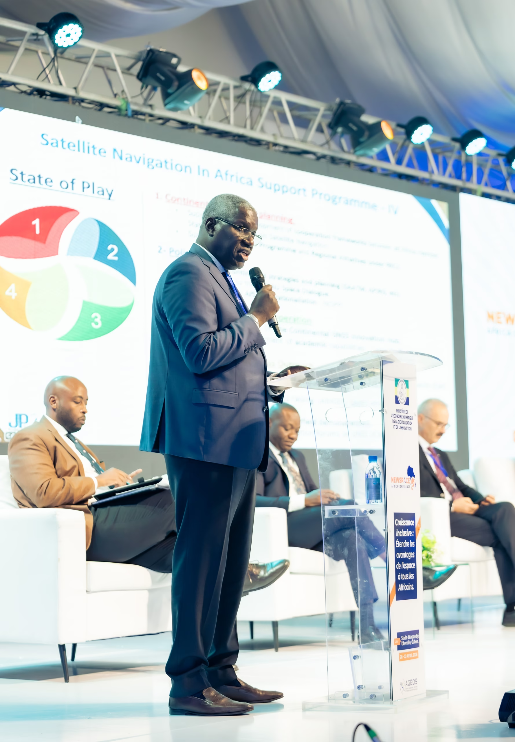
Among the few organisations invested in this sector is the SatNav Africa Joint Programme Office (JPO), and we had the pleasure of meeting its Director, Mr Semou Diouf, at the 2026 edition of the Newspace Africa Conference to discuss its implications for the continent’s future. Based in Dakar, Senegal, and operating as a pan-African Programme under the Africa-EU Space Partnership Programme (AESPP), SatNav Africa JPO champions the development of satellite navigation and Global Navigation Satellite System (GNSS) services across the continent, with aviation as its primary driver but with ambitions that reach considerably further. Speaking during the NewSpace Africa Conference 2026 in Libreville, Gabon, Mr Diouf was characteristically direct about where Africa stands, what is coming, and why it matters.
Africa is Still a Follower, But Not for Much Longer
Ask Mr Diouf honestly where Africa stands today in satellite navigation, and he does not reach for diplomatic comfort. “Africa is still a follower,” he said, noting that the majority of space launches across the continent are focused on Earth Observation, largely through nanosatellites, with satellite navigation receiving less attention than it deserves. But there is, he is careful to add, light on the horizon, and it has a name.
The ANGA programme, led by ASECNA, the Agency for Air Navigation Safety in Africa and Madagascar, is the continent’s most advanced Satellite Based Augmentation System (SBAS) initiative and the one that has genuinely emerged from a range of trials and projects. ANGA, which stands for the Augmented Navigation for Africa, means “sky” in Swahili, one of the most widely spoken languages on the continent.
The ANGA implementation roadmap targets Full Operational Capability (FOC) by 2030, a timeline shaped by the realities of a continent-wide undertaking and the disruptions, including the COVID-19 period, that any long-horizon infrastructure programme must absorb. Crucially, the ANGA System, like many Satellite-based augmentation systems, is designed by its very nature to operate at regional and continental scales and is built to deliver continent-wide coverage, providing African aviation and other sectors with native, independently managed navigation signal infrastructure. As their designers say, it is built “by Africa for Africa.”
In the meantime, Mr Diouf points to Galileo, the European navigation constellation, as a GNSS system to watch, like GPS. Indeed, Galileo’s enhanced services, including its High-Accuracy Service (HAS), which enables improved positioning performance, and the Open Service Navigation Message Authentication (OSNMA), which allows navigation messages to be cryptographically verified for authenticity, are already accessible to African users and provide a meaningful bridge while the ANGA SBAS programme is under development. “The rendezvous is 2030,” he said simply.
The Milestones to Watch
For the African space community tracking news in 2026 and 2027, Mr Diouf identifies several developments that deserve close attention. The most immediate is a governance one. The continental Cost-Benefit Analysis on SBAS implementation in Africa, conducted by the African Union Commission and completed in 2022, has been working its way through AU policy organs. Its outcomes, including the framework for SBAS governance across the continent, were expected to be validated by the relevant AU policy bodies in the second quarter of 2026. “This is very important for us,” he said, maintaining that institutional endorsement at the continental level is as critical as any technical milestone.
Another milestone concerns the ANGA SBAS roadmap itself. According to Mr Diouf, the focus is now shifting to expanding the programme’s reach, with more countries expected to join, as it has effectively grown into a full continental-capable programme.
From the downstream perspective and under the SatNav Africa JPO activities, a new initiative is taking shape that Mr Diouf clearly considers significant: the Africa GNSS Innovation Hub. Designed to promote collaboration, innovation, and capacity building through a dedicated platform, the Hub is intended to be operationalised with the support of key stakeholders.
Mr Diouf also flags the Galileo High-Accuracy Service (HAS) as something the African community should watch more closely, given its potential applications well beyond aviation, including surveying and precision agriculture.
Last but not least, there is the 2027 planned Conference, the first International Africa Satellite Navigation Conference, to be held in Dakar, Senegal, in 2027, which will serve as a key milestone for the advancement of satellite navigation in Africa. More on that shortly.
When Navigation Saves Lives: The Cabo Verde Lesson
It is easy to associate GNSS with maritime vessels and aircraft, particularly within the technical domain of aviation navigation procedures and concepts such as Performance-Based Navigation (PBN). What SatNav Africa JPO has been working to demonstrate, with increasing urgency, is that satellite navigation is equally indispensable when the “ground itself is in motion.”
In July 2025, the Government of Cabo Verde, in partnership with SatNav Africa JPO, hosted a high-level pre-event in Praia under the theme “Leveraging GNSS Technology for Enhanced Multi-Hazard Early Warning Systems in Africa.” The event drew hundreds of participants from African and foreign governments, private sector leaders, and specialists in climate resilience, and it addressed a question that rarely makes it into mainstream discussions of satellite navigation: what exactly does GNSS do in a flood or a landslide that Earth Observation cannot?
Mr Diouf’s answer to this is both technically precise and, given what followed the event, a reminder of the issue’s urgency. “One week after our conference,” he noted, “there was a flood in Cabo Verde. So the discussions during the conference had taken place at the right moment.”
The point he makes is that Earth Observation and GNSS are complementary rather than competing technologies. Earth Observation gives you the big picture, tracking rainfall patterns, monitoring terrain saturation, and identifying areas of landslide risk. GNSS tells you exactly where things are happening, with the precision and real-time capability that transforms that picture into actionable decisions.
In a flood scenario, GNSS supports real-time water level monitoring, allowing authorities to track the movement of floodwaters with high accuracy and define evacuation zones precisely, avoiding both under-warning, which leaves people in danger, and unnecessary mass displacement, which carries its own costs. For landslides, GNSS sensors installed on slopes can detect ground movements of just a few millimetres before a collapse occurs, providing the kind of early detection window that can mean the difference between an orderly evacuation and a catastrophe. In the response phase, precise navigation coordinates search-and-rescue operations, ensuring that emergency teams and logistical resources reach the right locations without delay, even in environments where infrastructure has been disrupted.
In conclusion, he said, “Earth Observation helps us understand the risk,” while “GNSS enables pre-monitoring, early detection, and coordinated response.” Both are complementary. Space technologies work best when used together.
Satellite Navigation, Enabling Safer Skies
A strong argument for SBAS is its potential to reduce the economic and operational burden created by fragmented ground navigation systems. The need for Africa to develop a seamless airspace is a goal of the African Union through the Single African Air Transport Market (SAATM), and a native SBAS continental system would be an important enabler of this goal.
The African Union Commission’s continental Cost-Benefit Analysis quantified this in terms that are difficult to ignore. According to that study, if SBAS coverage were extended across the entire African continent, the net present value over 25 years would be ~USD 930 million for all sectors, with USD 402 million attributable to the aviation sector alone. The payback period on the investment is estimated at five years. The savings are derived from reductions in flight time and C02 emissions, fewer Delays, Diversions, and Cancellations (DDC), and a reduction in what the industry calls Controlled Flight Into Terrain (CFIT) accidents in which an airworthy aircraft is unintentionally flown into terrain or obstacles. For a continent that has accounted for a disproportionate share of global aviation accidents relative to its traffic volume, the safety dimension alone makes the case compelling
“The ANGA SBAS system could be leveraged to support this continental objective,” Mr Diouf said, “by extending coverage to all countries. The economic case has already been demonstrated; however, it is up to States to exploit this opportunity.”
Satellite Navigation Beyond Aviation
There is a perception problem that Mr Diouf encounters repeatedly, and he addresses it with the patience of someone who has been making this argument for over a decade. Satellite navigation, in the public imagination, belongs to aircraft and to some extent maritime shipping vessels. It is a technical infrastructure for bigger institutions. On the contrary, it is not, in this framing, something that a young African entrepreneur building a drone delivery business or a smallholder farmer in a rural community should think of as relevant to them. He disagrees firmly and brings context to the argument.
The same African Union Commission Cost-Benefit Analysis that captured the aviation savings explored GNSS benefits to the agriculture sector, which are positive as well. Precision farming, which relies on high-accuracy positioning data to optimise inputs, reduce waste, and improve yields, is not a peripheral application of this technology. It is one of its most powerful, and for a continent where food security and the transition from subsistence to mechanised agriculture are national priorities, it is amongst the most consequential ones.
“The same high-precision capabilities that guide aircraft can also support last-metre delivery in urban areas, mapping, logistics, and any other service that young entrepreneurs, who have far more ideas than we do, can think of,” he said. On the question of accessibility, he is direct: “When the SBAS signal is available, it is available to everyone, and it is free.” What changes, depending on the application, is the safety and life-criticality of its use, not who can access it. Where direct line-of-sight to the signal is unavailable, such as in tunnels or dense urban environments, SBAS services can also be accessed via the internet.
SatNav Africa JPO’s role, as Mr Diouf sees it, is to ensure that “accessibility in principle” becomes “accessibility in practice. At the same time, access is not just about the signal itself. It is also about tools, skills, and platforms. “This is why we are investing in initiatives like GNSS innovation hubs, capacity building and training programmes embedded in university curricula, hackathon challenges and outreach activities that make clear to young Africans that this technology is already within reach. We don’t need them to wait for us to hand it to them,” he said. “We need them to pick it up and build with it to create value.”
From Aviation to Maritime: Technology Transfer in Progress
SatNav Africa JPO’s recent workshop in March 2026 on the value proposition of GNSS for the maritime sector represents a deliberate broadening of its institutional focus, and Mr Diouf is candid about both its promise and its pace. The maritime community in Africa is large, economically vital, and historically underserved in terms of satellite navigation awareness and infrastructure. The workshop brought together not just GNSS and SBAS service providers but also regional maritime organisations and actual maritime users, a combination he considers essential because, as he puts it, “Technology transfer is not simply about introducing a system. It is about building understanding, building trust, and identifying practical use cases,” he said. “Each industry is its own community. Aviation has its traditions, and maritime has its own. We have to adapt to each of them.”
The International Maritime Organisation is itself working on integrating SBAS into existing navigation infrastructure, adding an international tailwind to what remains an early-stage conversation in the African context. The momentum is genuine, Mr Diouf says, but momentum requires sustained nurturing. The goal, ultimately, is for African engineers to move from being learners and users of these technologies to being active contributors and developers of solutions designed specifically for the continent’s needs. That transition does not happen through a single workshop, but a single workshop is where it begins.
Dakar, Senegal 2027: A Stage is Being Set
When SatNav Africa JPO announced the first International Africa Satellite Navigation Conference, to be held in Dakar, Senegal, in 2027, it marked a moment of institutional confidence. After more than 12 years of building the case for satellite navigation as a continental priority, JPO is creating a dedicated high-level forum that does not yet exist anywhere on the continent.
Mr Diouf is clear about what he wants the stage to demonstrate at that point. “The event will show that satellite navigation matters for African economies,” he said. He wants us to arrive in Dakar with evidence of a continent that has moved from discussion to action, where SBAS’s roadmap is visibly on track, where the GNSS Innovation Hub is operational, where African stakeholders across aviation, agriculture, maritime, and logistics are exchanging with each other and with global partners not as recipients of technology but as co-developers of it. Satellite navigation and positioning are one of the four pillars of the African Union’s space policy and strategy. The Dakar conference is, in part, the moment where that pillar is seen to bear weight.
What the NewSpace Africa Conference Means to JPO
SatNav Africa JPO has been present at every edition of the NewSpace Africa Conference, from the inaugural gathering in Nairobi through to Libreville Editions. For Mr Diouf, the explanation for that consistency is simple but important. “This was, before the African Space Agency existed, the only platform in Africa where space professionals, institutions, and governments met to discuss the future of space for the continent,” he said. “It was unique.”
For an organisation whose challenge has long been to make satellite navigation visible in a space conversation dominated by Earth Observation, the NewSpace conference has served as a critical platform for awareness-raising. It is where the JPO has demonstrated, year after year, that the complementarity between navigation and Earth Observation is not a technical footnote but a strategic imperative. And it is where the Africa-EU Space Partnership Programme (AESPP), under whose umbrella SatNav Africa JPO now fully operates, was first discussed at the continental level last year.
His suggestions for the conference going forward are practical and rooted in a concern he returns to again and again: the next generation. Mr Diouf would like to see collocated events that bring younger audiences into specific sessions, giving them targeted access to the conversations and connections that will shape the industry they are about to enter. “They are the ones who are going to build the space sector,” he said. “It is not us. We need to find ways to bring them in now.”
It is, in its way, the same argument he makes about ANGA, the Innovation Hub, precision farming, and last-mile delivery. The infrastructure being built today is not for the institutions convening in Libreville. It is for the generations and the industries that will shape the continent in the years to come, and for the African ‘sky’, in every sense of that word, that is still being built.