
RCMRD Trains 55 African Officials on Digital Land Record Systems in Nairobi

Think about what happens when someone buys a plot of land, or when a family passes land down to the next generation. Someone has to keep track of who owns what. Across Africa, that work is moving from paper files to computer systems, making it faster to check land ownership, harder to lose or fake records, and easier to catch mistakes.
But replacing paper with computers is not enough. If the data going in is wrong, the system will simply repeat the same mistakes faster. Countries also need reliable internet and equipment, clear rules about who can see or change records, and a way for the land system to “talk to” other government systems, such as tax records or building permits.
Many African countries still manage land mostly on paper. That can mean long waits to complete a sale, missing records, and cases where two different people are told they own the same plot, which leads to disputes. There is also a deeper challenge: not everyone’s land claim is backed by an official title. Many people hold land through family, community or traditional arrangements that were never formally written down. A good digital system has to make room for that reality, not only for people with formal titles.
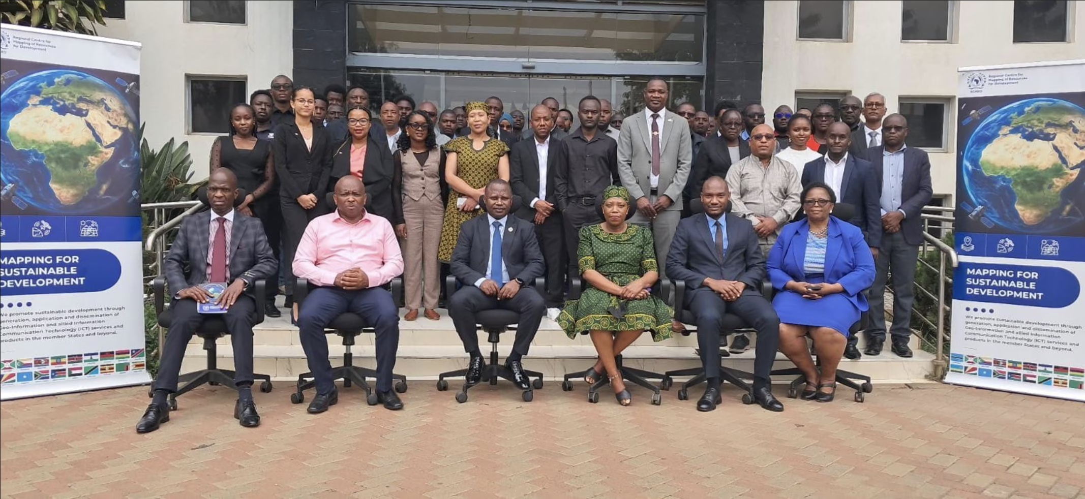
To address this, the Regional Centre for Mapping of Resources for Development (RCMRD), a Nairobi-based organisation jointly owned by 20 African governments, is running a five-day training from 14 to 18 September 2026. Fifty-five government officials from across those 20 countries are attending. They are learning how to plan and manage computer systems that bring land surveying, land registration, property valuation and mapping together in one place.
Getting government systems to work together safely
One focus of the training is ensuring that a country’s land records system does not operate in isolation. Officials are learning how to connect it to other tools the government already uses, such as national maps, property valuation records, city planning records, and online public services, so they don’t have to enter the same information repeatedly in different places.
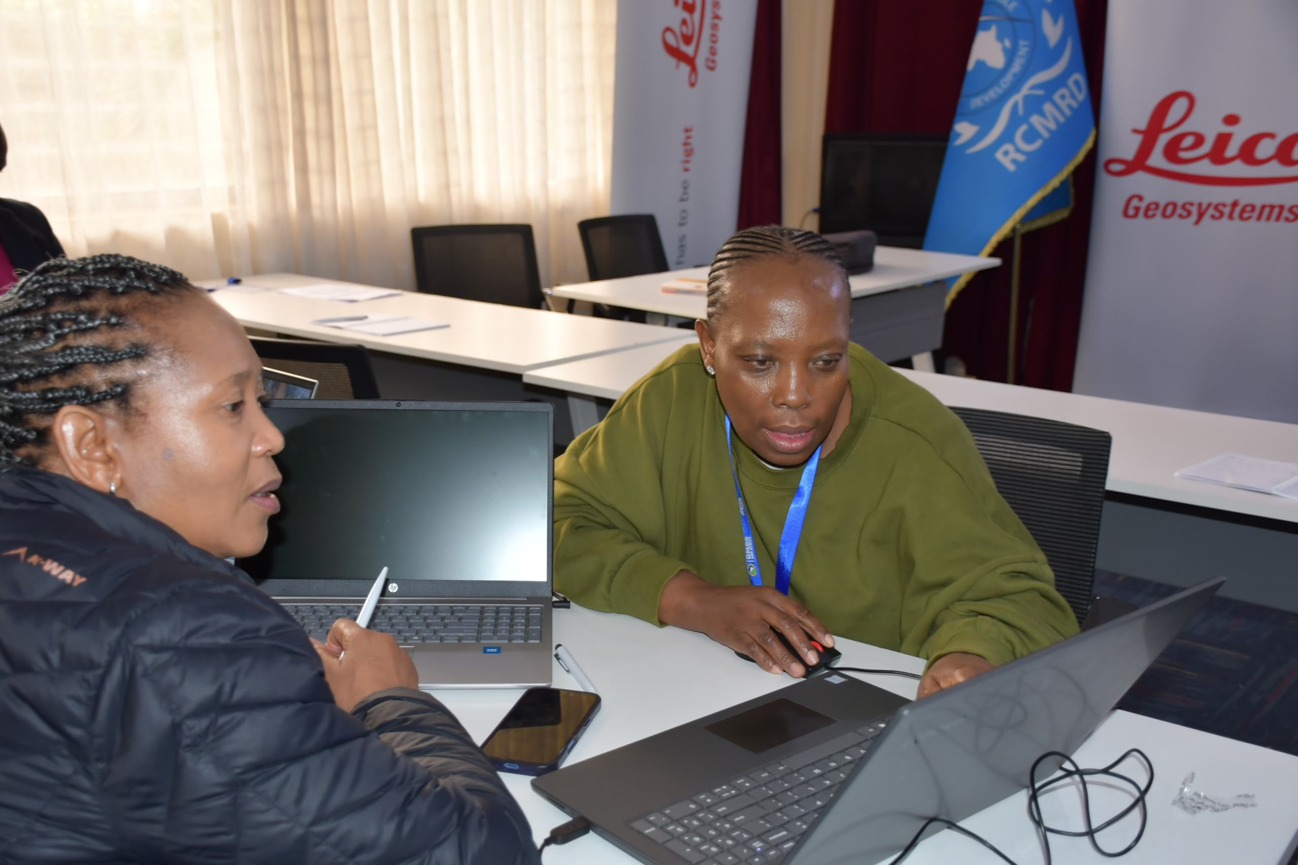
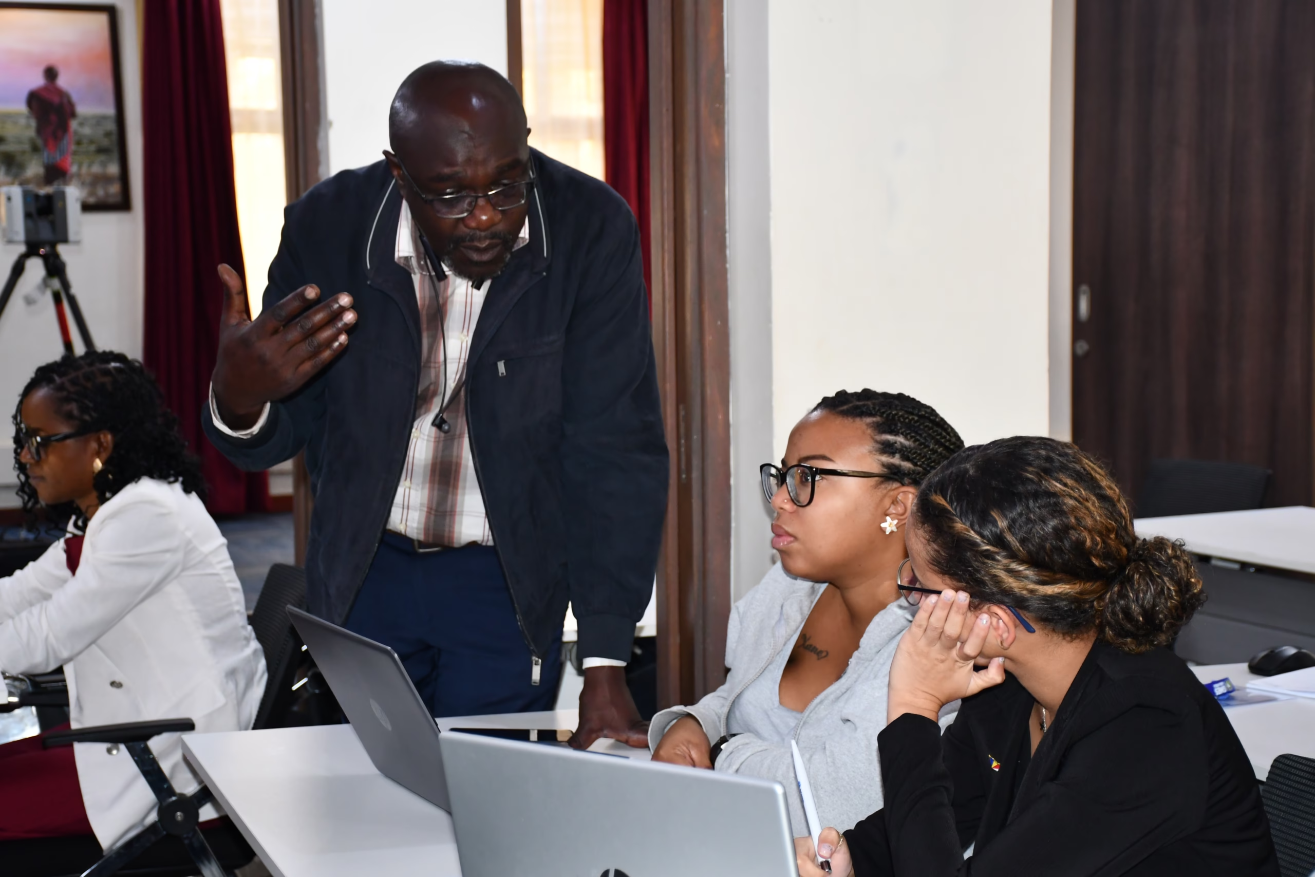
The training also covers how to keep land data safe and trustworthy: ensuring the information is accurate, controlling who can view or edit it, and protecting it from hacking. Officials are also weighing larger decisions, including whether to store government data on servers in their own country or with a foreign company, whether to use free open-source software or paid software, and how to use artificial intelligence tools responsibly.
Designing for how Africans actually hold land
A central part of the training is ensuring that digital systems do not exclude people simply because they lack an official title. Officials are learning how to record land held by families, communities, or under traditional and informal arrangements, and how to make digital land services genuinely accessible to rural communities, women, herders and other groups who often struggle to access government services.
To make this practical, participants are walking step by step through what it would be like for someone in a rural area to use one of these digital services: how they would first hear about it, how they would access it, how they would pay for it, and how they would file a complaint if something went wrong.
From classroom to real-world plans
The five-day training starts with the basics and builds toward hands-on planning. Officials cover why digital land systems matter, how to organise land data, digital mapping, connecting systems, keeping data secure and, finally, how to plan and fund a system back home.
By the end of the week, each government team will leave with its own step-by-step plan for building a digital land system in its country, including how it will handle land disputes and reach people in remote areas.
RCMRD says it will continue supporting countries after the training, first by assessing each institution’s readiness, then by helping run a small pilot of the system, providing ongoing technical support, and eventually supporting a full nationwide rollout.
Why this matters
Done well, digital land systems can make buying and selling land quicker, help governments collect the taxes they are owed, produce more accurate records, and give people stronger proof of ownership. They can also expand access to land services for groups that have often been overlooked, including rural communities, women, herders, and people living in informal settlements.
For the 20 countries involved, the goal is not simply to put land records on a computer. It is to build systems that are secure, connected and fair to everyone, and that make land ownership clearer and safer for ordinary people.
About RCMRD
RCMRD is a Nairobi-based organisation established in 1975 and jointly owned by 20 governments across Eastern and Southern Africa. It helps those countries make better use of maps, satellite data and related technology, including for land management.