
AfriGEO Symposium 2025: Charting the Path for Africa’s Geospatial Capability

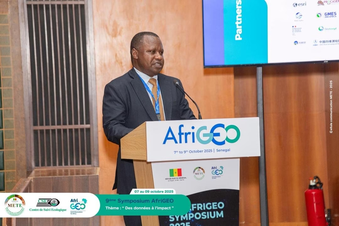
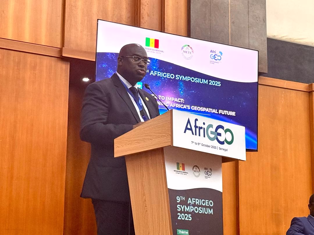
From October 6th to 9th, 2025, Dakar hosted the 9th AfriGEO Symposium, themed “From Data to Impact: Strengthening Africa’s Geospatial Future.” The symposium brought together governments, policymakers, researchers, technologists, and community advocates with a shared focus: transforming Earth observation data into actionable intelligence that shapes policy, drives economic growth, enhances disaster resilience, and advances sustainable development across the continent.
Organised by the AfriGEO Initiative in partnership with the Senegal Government, Ministère de l’Environnement et Transition Écologique (METE), Group on Earth Observation (GEO), the Regional Centre for Mapping of Resources for Development (RCMRD), and Centre de Suivi Écologique (CSE), the symposium represented more than a technical conference. It was a deliberate effort to bridge the gap between satellite imagery and ground-level impact, between data collection and decision-making, between technological capability and practical application.
The symposium’s theme centred on five interconnected pillars: advancing Africa’s geospatial ecosystem through the power of data; translating data into impactful decisions; strengthening geospatial infrastructure and collaboration; driving innovation for sustainable development; and building capacity through intentional inclusivity. These pillars formed the framework for four days of intensive dialogue, knowledge exchange, and collaborative problem-solving.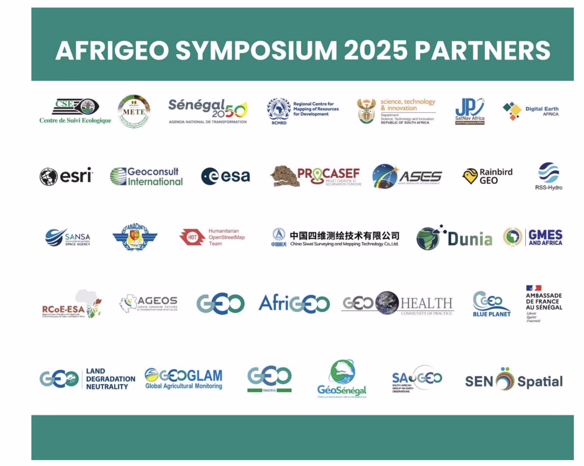
Day One: Building Foundations Through Capacity Development
The symposium opened with a focused day of capacity building, recognising that Africa’s geospatial future depends not just on infrastructure and data, but on people equipped with practical skills to leverage these tools. Multiple training sessions ran in parallel, each addressing specific applications and technical approaches. ESRI facilitated a workshop on WebGIS and GEOGLOWS, providing participants with hands-on experience in water resource management tools, critical capabilities for a continent facing increasing water stress and climate variability. The session demonstrated how web-based geographic information systems can democratize access to water data analysis, enabling resource managers to make informed decisions about allocation, conservation, and infrastructure planning.
GEOGLAM presented training on integrating satellite and in-situ observations for agricultural monitoring, addressing one of Africa’s most pressing needs: food security. The session explored best practices for combining space-based imagery with ground-level measurements to create robust monitoring systems that can track crop health, predict yields, and provide early warning of potential failures. This integration matters because agriculture remains the foundation of livelihoods for hundreds of millions of Africans, and timely, accurate information can mean the difference between abundance and crisis. Additional sessions covered scientific information for decision-making and leveraging Earth observation for Land Degradation Neutrality, a concept increasingly important as climate change and land pressure threaten agricultural productivity and ecosystem health. Participants learned how satellite data can track degradation patterns, identify restoration opportunities, and measure progress toward neutrality targets.
The Digital Earth Africa platform received dedicated attention, with trainers demonstrating how this open-access resource provides continent-wide satellite data analysis capabilities without requiring extensive infrastructure investment. Senegal Flying Labs offered practical training in drone data processing, reflecting the growing role of unmanned aerial vehicles in complementing satellite observations with high-resolution, on-demand imagery.
Sessions on open geospatial data for human settlements and using Earth observation for air quality determination rounded out the day. The air quality session, organised by the GEO Health Community of Practice Air Quality Working Group, addressed the often-invisible environmental health crisis affecting Africa’s rapidly urbanising populations, showing how satellite data can reveal pollution patterns and inform public health interventions.
Day Two: Strategic Dialogues and High-Level Engagement
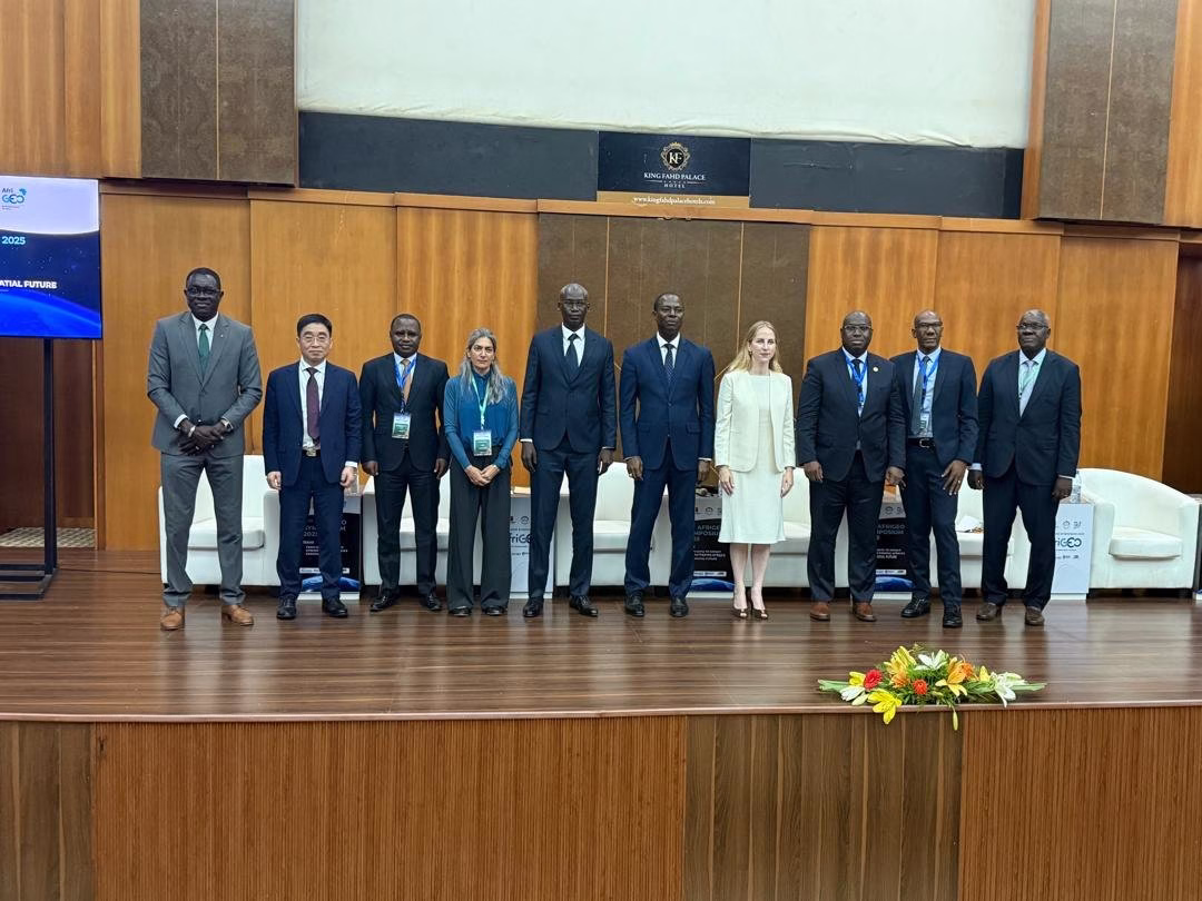
The symposium’s formal proceedings began with opening remarks that set both the technical and political context for Africa’s geospatial ambitions. Prof Cheick Mbow from Centre de Suivi Écologique opened the floor, followed by Dr Emmanuel Nkurunziza of RCMRD. Mr Xiang Gao, representing the GEO Co-Chair for China, and Dr Sara Venturini from the GEO Secretariat emphasised the importance of international collaboration in building Africa’s data infrastructure. Dr Kenny Tenza, AfriGEO Caucus Chair, reiterated that data-driven decision-making must become standard practice across African institutions.
Partner statements from Dr Lisa Rebelo of Digital Earth Africa and Ing. Sémou Diouf of SatNav-Africa JPO highlighted specific platforms and initiatives supporting the continent’s geospatial development. H.E. Dr Tidiane Ouattara, the President of the Africa Space Council, connected the symposium’s objectives to the AU Agenda 2063 and Africa’s evolving space policy framework, emphasising that Earth observation capabilities serve not just technical purposes but strategic continental development goals.
The subsequent session on geospatial resources, policy, and solutions brought together leaders from across Africa’s space ecosystem. Mr Humbulani Mudau of SANSA and AfriGEO Caucus Alternate Chair joined Dr Zoltan Szanto from the European Space Agency, Mr Hillary Kipkosgey from Kenya Space Agency, Dr Matthew Olumide Adepoju from Nigeria’s National Space Research and Development Agency, Maram Kairé from Senegalese Space Studies Agency, and Michel Massart from the Copernicus Space Programme at the European Commission. Their discussion shed light on the complex landscape of partnerships, policies, and technical strategies shaping how Africa develops and deploys geospatial capabilities.
Two parallel sessions addressed different but complementary aspects of the continent’s geospatial development. One session featured updates from National GEOs in Ghana, Senegal, Nigeria, and South Africa, providing insight into how individual countries are building their domestic geospatial infrastructures, establishing data policies, and creating institutional frameworks for Earth observation. These national efforts form the foundation upon which regional and continental initiatives build.
The other parallel session showcased the Continental LUISA Demo, led by LUISA-EO Africa and CSE. LUISA, Land Use Intensity and Sustainability Assessment, addresses a fundamental challenge: understanding how land is actually being used and whether that use can be sustained. The demonstration focused on monitoring land-use intensity and resilience to support sustainable agriculture across croplands, forests, rangelands, and urban areas. This matters because Africa faces mounting pressure on land resources from population growth, climate change, and economic development, and sustainable management requires a detailed, accurate understanding of current use patterns and their impacts.
The day concluded with a session exploring practical Earth observation applications across health, land management, and natural resource management. Prof. Cheikh Mbow delivered a keynote that connected geospatial data to African health strategies, demonstrating how satellite observations can track environmental factors influencing disease patterns, monitor the accessibility of health infrastructure, and support public health planning. Six presentations from researchers and practitioners illustrated real-world applications of Earth observation products in decision-making contexts, moving the discussion from just theoretical possibilities to demonstrated outcomes.
Day Three: Innovation, Infrastructure, and Implementation
The third day opened with an assessment of the critical intersections between data, innovation, and infrastructure. Dr Isidore Diouf from Groupe interinstitutionnel de concertation et de coordination en géomatique, Mr Saturnin Ndotit Manguiengha from Agence Gabonaise d’Etudes et d’Observations Spatiales, Mr Jacques Matara from Kenya Space Agency, and Prof. Ahmath Bamba Mbacke from the Senegalese Chapter of Internet Society and ESP explored how physical infrastructure, digital connectivity, and institutional frameworks must align to enable effective use of geospatial data. Prof Seydina Ousmane Sene, representing AfriGEO’s Technical Advisory Committee, presented on Digital Earth Africa, explaining how this open-access platform democratizes satellite data analysis across the continent. By providing analysis-ready data and cloud computing resources, Digital Earth Africa removes many barriers that have historically prevented African institutions from fully utilising Earth observation capabilities. The platform represents a shift from data scarcity to data abundance, and from infrastructure as a barrier to infrastructure as an enabler.
Furthermore, Mr Sultan Jamal from NARSDA highlighted GRID 3’s role in strengthening national planning through improved geospatial data on population distribution, infrastructure, and administrative boundaries. GRID 3, Geo-Referenced Infrastructure and Demographic Data for Development, addresses a persistent challenge in African development: the lack of accurate, detailed baseline data about where people live, what infrastructure exists, and how services can most effectively reach populations. Without this foundational information, planning remains imprecise and resource allocation is inefficient.
Dr Aïcha Alou from SatNav Africa JPO presented collaborative approaches through the Africa Satellite Innovation Hub, emphasising how shared resources and knowledge networks can accelerate capability development across the continent. Rather than each country building capabilities in isolation, the hub model enables pooling of expertise, infrastructure, and investment. Additional presentations came from diverse actors in the geospatial ecosystem. Gerald Yegon from Planet Labs PBC discussed commercial Earth observation capabilities and how high-frequency, high-resolution imagery can complement public satellite missions. Patrick Kabatha from RCMRD and Dr Alla Manga reviewed Senegal’s National Spatial Data Infrastructure through the lens of the UN Integrated Geospatial Information Framework (UN-IGIF), demonstrating how international standards and best practices can guide national development efforts.
Contributions from Amazon Web Services, Technical University of Kenya, Egyptian Space Agency, Makerere University, SatNav JPO, and GeoVille illustrated the breadth of technical approaches and application areas being advanced across the continent. From cloud computing platforms to academic research programs to commercial service providers, the ecosystem is expanding and diversifying. In addition, parallel sessions explored focused thematic areas. One track examined GMES & Africa Phase 2 achievements, with presentations from the African Union Commission’s GMES & Africa program and the University of Ghana. The Global Monitoring for Environment and Security (GMES) and Africa initiative has been instrumental in building operational Earth observation capabilities across African institutions, and Phase 2 represents an expansion and deepening of these efforts.
Another session, led by the German Aerospace Centre (DLR), explored how Earth observation supports socio-economic development, demonstrating applications in urban planning, infrastructure development, and economic activity monitoring. A biodiversity conservation session addressed how satellite data can track habitat changes, monitor protected areas, and support conservation planning, critical capabilities as Africa seeks to balance development with preservation of its extraordinary natural heritage. Regional adoption of open data through GEO received dedicated attention, exploring how open data policies and platforms can accelerate innovation and ensure broad access to geospatial information. Specialised panels covered marine and coastal management, mining, pollution, and the blue economy, led by GEO Blue Planet, UNEP, Digital Earth Africa, CSE, SGNS, and GMES Africa, with contributions from the African Union and OCEAN Hub Africa. These sessions recognised that Africa’s geospatial needs extend beyond terrestrial applications to marine and coastal environments that are economically vital but often poorly monitored.
The day concluded with discussions on using Earth observation and predictive data to enhance land productivity and enable adaptive land use. The sessions demonstrated that geospatial technology serves not just for monitoring purposes but can actively inform and improve agricultural practices, land management decisions, and ecosystem restoration efforts.
Day Four: Inclusivity, Youth Leadership, and Future Trajectories
The final day addressed dimensions of the geospatial community that extend beyond technology and data to the people and partnerships that will ultimately determine Africa’s trajectory. The day opened with a session on Gender Inclusivity and Intersectionality, recognising that Africa’s geospatial capabilities will only reach their full potential if they draw on the talents and perspectives of the continent’s entire population. Furthermore, the session highlighted women’s contributions to Senegal’s geospatial ecosystem and featured a presentation titled “From Satellite to Field: AI-GEAR as Nigeria’s Blueprint for Gender-Responsive Climate Resilience in African Agriculture.” The presentation illustrated how artificial intelligence and geospatial data can be deployed in ways that specifically address the needs and strengthen the resilience of women farmers, who produce a substantial portion of Africa’s food but often lack access to the information and resources that could improve their productivity and climate adaptation.
A session on using geospatial data for community lands explored how local-level data can strengthen land governance, improve land administration, and support adaptive land use planning. Two presentations and a panel discussion examined how community-generated geospatial information fosters cross-country learning and supports advocacy for community land rights, a critical issue across much of Africa where formal land tenure systems often fail to recognise customary and community arrangements.
The partnership-focused session highlighted four key collaborative frameworks shaping Africa’s access to geospatial capabilities. The Italian government’s Piano Mattei for Africa was presented as an example of how development partnerships can support geospatial infrastructure. The ANACIM-EUMETSAT partnership demonstrated cooperation in weather and climate services, which rely heavily on satellite observations. China’s contributions to Africa’s sustainable development through Earth observation were explored, highlighting the growing role of Chinese satellite systems and technical cooperation in building African capabilities. French cooperation initiatives, including Sen Spatial and SenSat projects in Senegal, illustrated bilateral approaches to capacity building and infrastructure development.
Youth-led innovation took centre stage in the penultimate session, showcasing real-world projects that address Africa’s pressing challenges using Earth observation and geospatial analysis. The session demonstrated that young African professionals are not just preparing to join the geospatial field; they are already contributing innovative solutions and driving practical applications. The session also marked the launch of the AfriGEO Youth Community of Practice, a platform designed to foster collaboration among young geospatial professionals, provide mentorship opportunities, and ensure that the next generation has a voice and agency in shaping Africa’s geospatial future.
The final technical session addressed three forward-looking topics: building capacity for global UAV observation networks, exploring the potential of geospatial technology and artificial intelligence in African agriculture and food systems, and developing strategies to strengthen public policy through better geospatial information. The UAV session recognised that drones complement satellite observations by providing high-resolution, on-demand imagery for specific applications. The agriculture and AI session explored how machine learning applied to geospatial data can provide farmers with precise, actionable guidance on planting, irrigation, fertilisation, and harvest timing. The policy session examined how better geospatial information can improve policy design, implementation, monitoring, and impact evaluation.
From Data to Impact: The Path Forward
The AfriGEO Symposium 2025 concluded with a synthesis of insights and perspectives that were evident across the four days. The gathering demonstrated that Africa’s geospatial community has moved beyond questions of whether Earth observation matters to practical considerations of how to deploy these capabilities most effectively. The symposium revealed a maturing ecosystem characterised by growing technical sophistication, expanding institutional capacity, increasing regional collaboration, and deepening integration of geospatial data into decision-making processes.
The symposium’s call to action emphasised five imperatives that will determine whether Africa fully realises the potential of its geospatial investments. First, strengthening open data access ensures that information flows freely to those who can use it most effectively. Second, transforming data into actionable insights requires not just technical capability but close engagement between data producers and decision-makers. Third, fostering collaboration and partnerships enables the pooling of resources and expertise across borders and sectors. Fourth, embracing innovation through artificial intelligence, cloud computing, and big data analytics can enhance decision-making and help bridge Africa’s digital divide. Fifth, empowering the next generation ensures continuity and innovation in the continent’s geospatial capabilities.
As participants departed Dakar, they carried with them not just technical knowledge and professional connections, but a reinforced understanding that Earth observation and geospatial technology are not ends in themselves but tools for addressing Africa’s most pressing challenges. From food security to climate adaptation, from disaster response to economic development, from health interventions to ecosystem conservation, the applications are as diverse as the continent itself.