
ECOWAS Validates ECOSAT-1 Study and Unveils Model of West Africa’s First Regional Earth Observation Satellite
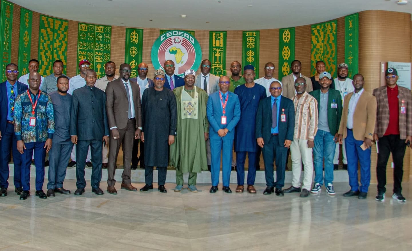
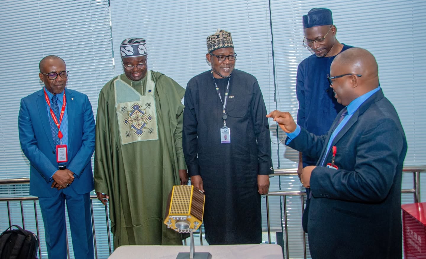
The Economic Community of West African States (ECOWAS) and Nigeria’s National Space Research and Development Agency (NASRDA) unveiled a 3D-printed model of ECOSAT-1 on 18 November 2026 and validated the study report that defines the satellite. ECOSAT-1 is planned as the first Earth observation satellite of the ECOWAS bloc. The event took place at the ECOWAS Commission headquarters in Abuja.
Prof. Matthew Olumide Adepoju, Director General of NASRDA, unveiled the model. In attendance were Prof. Nassirou Bako-Arifari, ECOWAS Commissioner for Human Development and Social Affairs; Dr Rowland Kouakou, ECOWAS Director of Science, Culture and Education; Dr Halilu Ahmad Shaba, immediate past Director General of NASRDA; space science and technology experts from ECOWAS member states; and the ECOSAT-1 mission team, led by Dr Godstime Kadiri James, Director of Strategic Space Applications at NASRDA.
The Satellite Design
ECOSAT-1 has not been built. What was validated in Abuja is its design, targeting a spacecraft weighing about 400 kilograms at launch and a seven-year working life in a sun-synchronous orbit 520 kilometres above Earth. In that orbit, the satellite crosses any given spot at the same local solar time on every pass, so lighting stays consistent and analysts can line up scenes taken months or years apart to track change. The design reuses the platform that flew on NigeriaSat-2.
Two imaging instruments make up the payload:
- Very-High-Resolution Imager: black-and-white (panchromatic) images at 0.5 metres and four-band colour (multispectral) images at 1 metre, over a 19.5-kilometre strip directly beneath the satellite. At that level of detail, single buildings, vehicles, roads and small boats can be picked out.
- Wide-Swath Multispectral Imager: 10-metre images across a 392-kilometre strip, enough to take in a whole river basin, farming belt or stretch of coastline in one pass.
Imagery will reach ground stations in West Africa over an encrypted X-band link.
NigeriaSat-2, the heritage mission, was launched in 2011 and provides images at 2.5 metres panchromatic. ECOSAT-1’s 0.5-metre specification is five times sharper. Space in Africa’s assessment is that building on a platform NASRDA already operates shortens the design path and keeps the regional mission close to an existing body of Nigerian operational experience, while the jump in camera resolution is where most of the new engineering will sit.
Why ECOWAS Wants Its Own Satellite
Prof Adepoju presented the satellite as an answer to the region’s size and its reliance on others for data. The twelve member states span roughly 2.3 million square kilometres, plus the Cabo Verde islands and an Atlantic shoreline that runs from Senegal to Nigeria along the Gulf of Guinea. Floods, droughts, rapid urban growth, coastal erosion, forest loss, land degradation, illegal fishing and piracy recur across that area, and he argued that only satellites can track them evenly across twelve countries.
In addition, governments in the region currently work with free medium-resolution imagery from foreign missions such as Landsat 9 and Sentinel-2, and pay foreign commercial companies for the most detailed images. Prof Adepoju said this leaves the timing of image capture, the price, the licence terms and the delivery speed in those companies’ hands. “In an emergency, we wait in someone else’s queue,” he said.
With ECOSAT-1, ECOWAS would own a source of detailed optical imagery, write its own rules on how the data is shared and used, and get images to member states when they need them.
He gave examples of what the imagery should help governments find out. In a flood or other disaster, it would show which settlements, roads and bridges are submerged, how much further the water has spread in a day, how many homes, schools and health facilities have been hit, which roads relief convoys can still use, and where people are building on floodplains ahead of the next rainy season. On food security, it would help measure the area planted with maize, rice, sorghum and cassava, flag crops under stress, and point to districts at risk of shortages early enough to plan support. Vegetation indices from the multispectral bands, he said, can pick up drought stress weeks before crop failure shows in the field.
Walking participants through the model, Prof Adepoju pointed out its main parts: the central bus that houses power, attitude control, data handling and communications; the two cameras; the solar arrays; and the X-band antenna. He stressed that the model was not for display alone and represents the architecture agreed for the region’s first satellite.
How the Project Came About
ECOSAT-1 grew out of a partnership between the ECOWAS Commission and NASRDA that dates back to 2017.
- 2017: ECOWAS and NASRDA signed a Memorandum of Understanding, which led to the ECOWAS Strategy on Space Sciences and Geomatics. A two-day validation meeting for the strategy opened at the ECOWAS Commission in Abuja on 18 October 2017. Prof Adepoju, then head of Cadastral Mapping and Urban Space Applications at NASRDA, chaired the session.
- May 2019: ECOWAS Commission President Jean-Claude Kassi Brou visited NASRDA headquarters in Abuja. ECOWAS said at the time that it considered space science an opportunity for regional cooperation, shared infrastructure and data sharing, with a role in disaster risk reduction for droughts and floods.
- June 2020: The ECOWAS Commission invited bids for a study of what the region’s institutions need from satellite imagery, to shape the design of ECOSAT-1. The call named seven areas: tracking epidemics, natural resources and the environment, natural disasters, agriculture and food security, conflict early warning, education and research, and health services in rural and remote communities. Eight bidders responded, including Euroconsult, VisioTerra, Terranis, Yuzhnoye, and a consortium of West African space and geospatial institutions. NASRDA scored highest, with 91 points.
- January to February 2022: A second ECOWAS call sought a firm to work out the satellite’s architecture. The brief was to set out the design, list the tools, software and materials needed to build and launch it, identify possible partners, propose a training plan for regional stakeholders and estimate the total cost of the project.
- 18 November 2026: ECOWAS experts validated the study report, and the 3D model of the satellite was unveiled.
The membership the satellite serves has changed since the project began. ECOWAS had fifteen member states when the user-needs study was commissioned in 2020. Burkina Faso, Mali and Niger left the bloc in January 2025, and ECOSAT-1 is now scoped for the remaining twelve.
A Wider Regional Push
ECOSAT-1 is one of several projects in which regional blocs are pooling money and expertise for shared satellites.
- SADC: Experts from the 16 SADC member states met in Dar es Salaam in February 2026 to review the Regional Shared Satellite Network Project. At a steering committee meeting in Luanda in August 2026, member states reported progress on consolidating orbital positions for the SADC shared satellite and on terms of reference for a SADC Space Programme.
- East Africa: Kenya, Rwanda, South Sudan and Uganda agreed in May 2026 to fund a 12- to 18-month feasibility study for the Northern Corridor Regional Communication and Broadcasting Satellite Initiative, with each country contributing USD 250,000. The initiative follows a 2018 directive from the Northern Corridor Integration Projects Summit for a satellite owned by member states.
- Arab Space Cooperation Group: Eleven Arab states, including Egypt, Algeria, Morocco and Sudan, formed the group in March 2019. Its first project, the 813 Earth observation satellite, launched in December 2025 and gives member states open data for their environmental and climate priorities.
Space in Africa believes these programmes follow the same logic as ECOSAT-1. Jointly owned satellites, whether a single spacecraft or a constellation, replace several overlapping national missions, a pooled budget covers costs most members might struggle to carry alone, and coverage reaches citizens in member states with no national space programme. The SADC and East African projects are communication satellites; ECOSAT-1 and 813 are Earth observation missions.
ECOSAT-1 is a developing story. Space in Africa will keep readers updated as ECOWAS moves from milestone to milestone, through launch and beyond.