

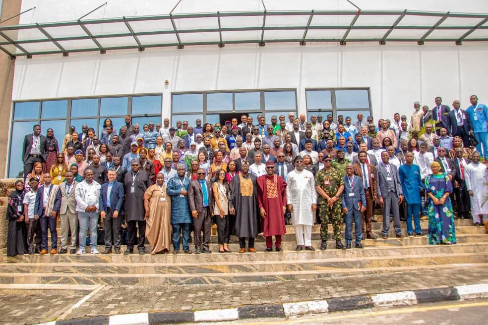
More than 400 participants from across Africa’s Earth observation and geospatial community gathered in Abuja, Nigeria, from 5 to 8 October for the 10th AfriGEO Symposium, held under the theme “Earth Observation for a Resilient Africa.”
Hosted by Nigeria’s National Space Research and Development Agency (NASRDA), the symposium brought together representatives from national GEOs, space agencies, research institutions, international organisations, private companies and the wider geospatial community to discuss the use of Earth observation across areas including climate resilience, agriculture, water security, disaster management and biodiversity.
Opening the pre-symposium programme, Dr Matthew Adepoju, Director General of NASRDA and GEO Principal for Nigeria, set the tone for the gathering, calling on participants to “transform data into practical intelligence to feed decisions.” He also highlighted collaboration as a central strength of the AfriGEO community.
The emphasis on turning data into usable intelligence ran through much of the four-day programme. Alongside technical sessions and demonstrations, the symposium featured discussions on Earth observation infrastructure, artificial intelligence, commercial imagery, investment, food security, water, early warning and the development of national and continental capabilities.
The 2026 edition also marked ten years since the first AfriGEO Symposium was held in Victoria Falls, Zimbabwe, in 2016, providing an opportunity to take stock of how Africa’s Earth observation ecosystem has developed and where its priorities are now shifting.
A Continental Gathering of Earth Observation Stakeholders
The symposium opened with remarks from senior representatives of Nigeria and the global and African Earth observation community.
Prof. Matthew Olumide Adepoju, Director General of NASRDA, and the Chief of the Defence Space Administration were among the Nigerian officials opening the event. They were joined by Dr Lisa Rebelo, Managing Director of Digital Earth Africa; Dr Emmanuel Nkurunziza of the AfriGEO Secretariat and RCMRD; Madeeha Bajwa, Chief Work Programme Coordinator at the GEO Secretariat; and Dr Kenny Tenza, AfriGEO Caucus Lead Co-Chair from South Africa. A special guest appearance was also made by the Governor of Benue State, alongside Nigeria’s Minister of Budget and Economic Planning.
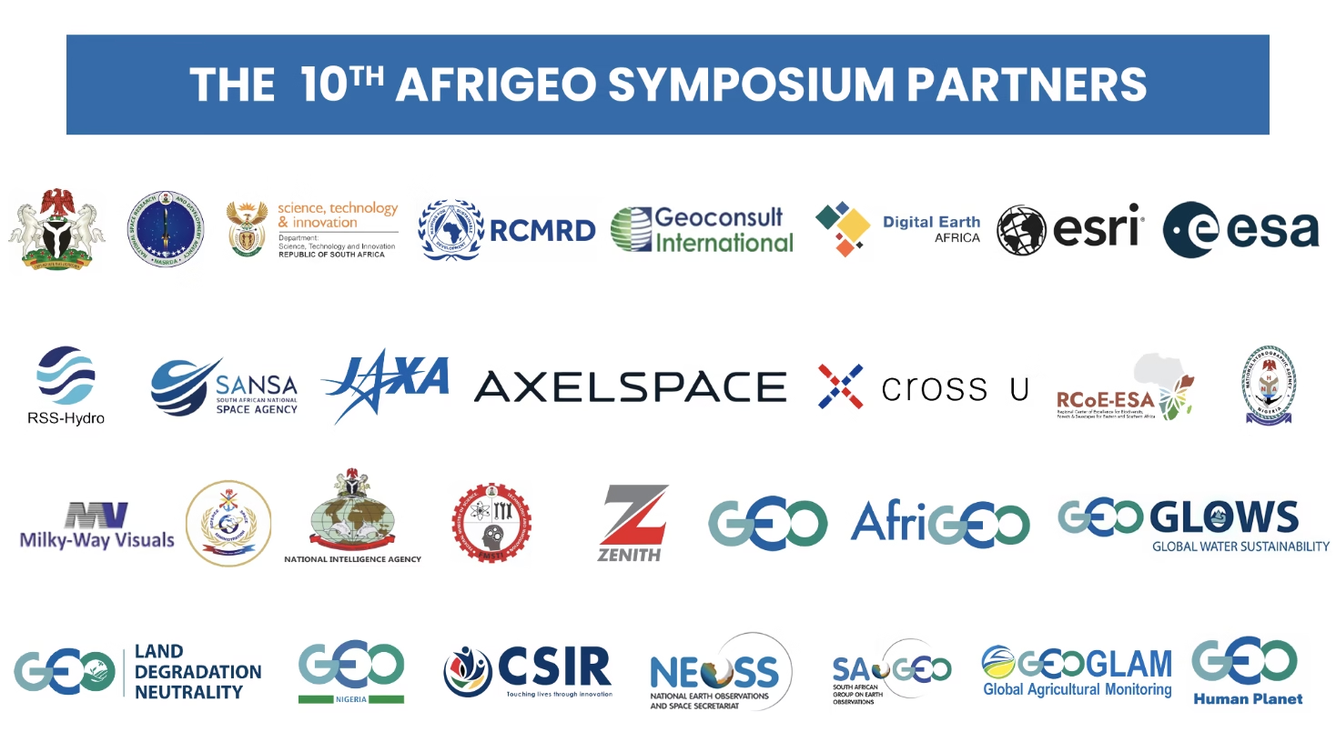
The programme reflected the increasingly international nature of Africa’s EO ecosystem. Organisations including the European Space Agency, Japan Aerospace Exploration Agency (JAXA), GEO Secretariat, GEOGLAM, UNDRR, the European Union, Digital Earth Africa and Esri were represented across the different sessions.
National coordination was also a prominent part of the programme. Representatives from South Africa, Senegal, Nigeria, Kenya and Madagascar presented updates on their respective national Earth observation activities and priorities. Togo and Benin were also officially welcomed into the AfriGEO community during the symposium. The national GEO session provided a useful snapshot of the different stages of development across the continent and highlighted AfriGEO’s role in connecting national efforts with continental and global Earth observation initiatives.
Preparing the Next Generation of Africa’s EO Workforce
Before the official opening, the first day of the symposium focused on practical capacity development. Held at the Defence Space Administration and NASRDA facilities in Abuja, the pre-symposium programme offered participants several parallel training tracks covering areas such as flood forecasting, hydrological intelligence, agriculture, artificial intelligence, field data collection, and cloud-based Earth observation.
Participants could take part in a GEOGLOWS workshop on flood forecasting and water decision support, a GEOGLAM track focused on crop mapping and yield estimation, an AI for Earth Observation workshop organised by Esri, a KoboToolbox data-collection workshop and a Digital Earth Africa workshop covering open-source cloud platforms and applications for environmental monitoring and natural-resource management.
JAXA also led a capacity-building session, bringing together Nigerian and Japanese stakeholders to discuss GIS and Earth observation needs and to explore Japanese satellite data and analytical capabilities relevant to Africa. The emphasis on hands-on training was notable. Rather than limiting the first day to presentations, the organisers used the programme to introduce participants to specific tools and workflows applicable to areas such as flood forecasting, crop monitoring and environmental management.
Other keynote speakers included Theresia Bilola from the African Observation and Data Research Infrastructure, who addressed Earth observation for a resilient Africa, and Sheila Kiconco of the Capacity-building Initiative for Transparency Global Support Programme, who discussed climate-finance mechanisms for Africa and within Africa. These discussions set the context for a programme that repeatedly returned to a similar question: how can Africa move from having access to Earth observation technologies and data to using them more effectively in development and decision-making?
The Challenge is No Longer Just Access to Data
That question became particularly visible during the session on data, innovation and infrastructure. The AfriGEO Community of Practice on Data, Innovation and Infrastructure brought together presentations and discussions on open EO data, interoperable geospatial infrastructure, cloud computing, artificial intelligence, machine learning, data standards and data-sharing frameworks.
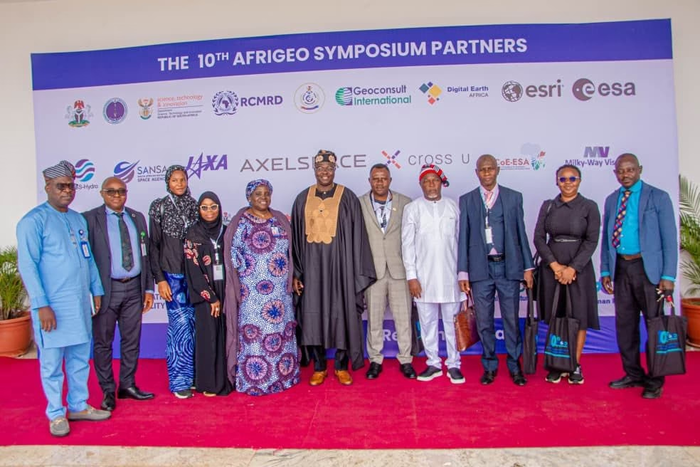
Presentations included Digital Earth Africa’s work on open access EO data, Nigeria’s efforts to strengthen data infrastructure, cybersecurity considerations for Earth intelligence, and lessons from South Africa’s GEO Knowledge Hub.
The session highlighted a challenge that continues to shape the continent’s EO ecosystem: the availability of satellite data has increased, but turning that data into reliable services requires infrastructure, skills, standards and institutions capable of processing and applying it. This became even more apparent in a dedicated session on access to very-high-resolution satellite imagery.
Why Very-High-Resolution Satellite Imagery Remains Out of Reach
Convened by the GEO Secretariat, the session on “Very High-Resolution Imagery Access in Africa: From Fragmented Supply to Coordinated Solutions” brought together national users, commercial imagery providers, United Nations organisations and financing actors. The discussion focused on a practical problem faced by African governments: despite the expansion of commercial very-high-resolution imagery, access for disaster risk reduction, early warning and emergency response remains fragmented and expensive.
The session examined three related challenges: securing reliable access when imagery is needed, navigating licensing and procurement arrangements, and building institutional capacity to use the imagery operationally. Rather than treating this simply as a technology-access problem, the discussion examined whether existing coordination and financing mechanisms could be used more effectively, or whether a dedicated Africa-focused mechanism might be required. The GEO Secretariat indicated that the consultation would contribute to discussions around a potential Africa-based pilot.
From Earth Intelligence to Investable Projects
The commercial and investment dimension became more explicit on the final day. The AfriGEO Investment and Partnership session, organised by the AfriGEO Secretariat, GEO-Nigeria and JAXA, was built around the theme “From Earth Intelligence to Investable Projects: Mobilising Resources for EO in Africa.”
Its inclusion represented a notable expansion of the symposium’s agenda beyond technical capacity and scientific collaboration. The programme’s stated objective is to contribute towards a pipeline of investable EO projects across Africa. Other sessions also connected Earth observation with the broader space economy, agricultural innovation and the Africa-EU space partnership.
The discussion is increasingly relevant as African EO capabilities expand beyond government and research institutions into commercial analytics, data platforms, climate services, agricultural intelligence and other downstream applications. For these activities to scale, however, technical capability needs to be matched by sustainable demand, financing, and business models.
Partnerships Across Africa and Beyond
The final day also featured a session on the ESA and Africa-EU Space Partnership Programme, focusing on agricultural innovation, while earlier discussions examined how Earth observation can support national reporting under the UN Convention to Combat Desertification, the Convention on Biological Diversity, and the UN Framework Convention on Climate Change. The symposium therefore provided a platform not only for African institutions to exchange experiences, but also for international partners to engage directly with national and regional priorities.
This is important because much of Africa’s EO infrastructure and capacity has developed through a combination of national investment, international cooperation, development programmes and increasingly private-sector activity. The challenge going forward will be to ensure that these partnerships translate into systems and services that can be sustained beyond individual projects.
From Observation to Action
The final technical session focused on Earth Observation for Impact-Based Early Warning in Africa, bringing together actors including UNDRR, NASRDA, the Italian Space Agency, ECOWAS, the European Commission and its Joint Research Centre. The session focused on the part of the early-warning chain between detecting a hazard and responding to it: understanding who and what is exposed, assessing vulnerability and translating that information into early action. This focus captures much of the direction of the 2026 symposium.
Over four days, discussions repeatedly moved beyond the availability of satellite observations to questions of infrastructure, access, analysis, financing, institutional capacity, and decision-making. The symposium concluded with the presentation of the AfriGEO 2026 Communiqué and Recommendations, alongside plans for symposium proceedings, a partnership compendium and an investment opportunities report.