
Ghana Joins the Space4Ocean Alliance, Becoming the Sixth African Signatory

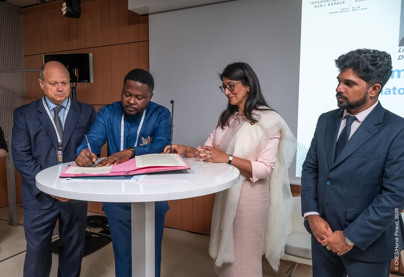
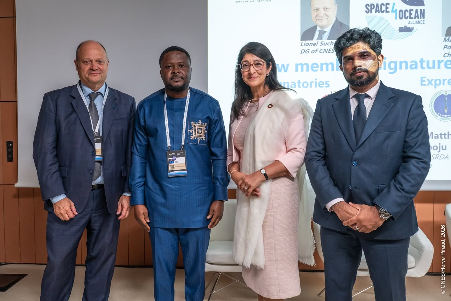
The Ghana Space Science and Technology Institute (GSSTI) has signed the Space4Ocean Declaration of Interest, committing the country to a multilateral mechanism that links space agencies with marine and maritime institutions. GSSTI Director Dr Joseph Bremang Tandoh signed the Declaration on 9 September 2026 during the International Space Summit at the Grand Palais in Paris, witnessed by UNOOSA Director-General Aarti Holla-Maini, CNES Director-General Lionel Suchet, and Madin Maseeh, Chair of the Space4Ocean Alliance and President of the Maldives Space Research Organisation.
Ghana Becomes the Sixth African Member of the Space4Ocean Alliance
Ghana’s accession brings the Alliance roster to 32 entities and makes GSSTI the sixth African institution to join, after the Gabonese Agency for Space Studies and Observations (AGEOS), the Kenya Space Agency (KSA), the Research and Study Centre of Djibouti (CERD), the Senegalese Space Study Agency (ASES) and Angola’s National Space Program Management Office (GGPEN).
Angola and Ghana signed on the same day, at the same Paris ceremony, which is the more significant fact. African membership of the Alliance has now doubled in a single afternoon, from three at the Nice launch in June 2025 to six, and the two newest signatories arrived through a French-convened summit rather than through an ocean-sector convening. That says something about the recruitment channel, which we examine below.
Why Ghana’s Coastline Is the Driver
For Ghana, the case is not abstract. Coastal erosion and flooding along the Gulf of Guinea shoreline translate directly into lost homes, lost fishing landing sites, damaged public infrastructure and degraded ecosystems, with the Keta and Ada stretches of the Volta delta the most persistently affected. GSSTI’s own framing of the signature is notably unromantic on this point: erosion and flooding, it argues, are not merely changes on a map.
The fisheries dimension compounds it. Ghana’s artisanal fleet operates from landing sites that are themselves being lost to the sea, while stock pressure and monitoring gaps in the wider exclusive economic zone remain unresolved. Shoreline change, flood exposure, and fisheries management are all problems with a satellite answer, and none of them is a problem Ghana can currently observe at the required cadence.
What GSSTI Plans to Do With Membership
Through the Alliance, GSSTI intends to pursue partnerships that combine satellite observation, field measurement, and local knowledge across six areas: shoreline monitoring, coastal-flood assessment, marine-pollution detection, mangrove and wetland protection, fisheries management, and the wider blue economy.
The institute has been unusually direct about the limits of what it signed. The Declaration provides no funding and delivers no operational monitoring system. Its immediate value is procedural: a formal platform on which Ghana can state its requirements, identify technical partners, enter expert networks, develop collaborative projects and train Ghanaian scientists. That candour is worth noting, because accession statements of this kind are more often written as though the signature were the outcome rather than the entry ticket.
What Ghana Has, and What It’s Reaching For
Ghana is not starting from nothing on the maritime side. The National Space Policy identifies maritime security as a user need, naming coastal engineering and management, tidal and sea-surface-height measurement, and vessel identification as areas requiring space technology, and it references a co-located GNSS continuously operating reference station at the Takoradi Harbour tide gauge for sea-level-rise and altimetry work. Fisheries monitoring appears under the policy’s biophysical environment provisions. The requirement, in other words, was documented before the Declaration was signed.
Similarly, Ghana currently lacks a national Earth observation satellite. GhanaSat-1, the CubeSat developed at All Nations University and deployed from the International Space Station in 2017 (now inactive), remains the country’s only indigenous satellite, and it was a capability demonstrator rather than an operational sensor. Every shoreline or pollution product GSSTI builds will run on foreign and open-access imagery, which makes the Alliance’s data-access provisions the part of the Declaration that actually matters for Ghana.
A French-Brokered Route Into the Alliance
GSSTI acknowledged the French Embassy in Ghana for facilitating the country’s participation in the Paris engagements, and that acknowledgement is the thread worth pulling. CNES proposed the Space4Ocean Alliance; France convened the summit where Ghana and Angola signed; CNES’s Director-General witnessed the Ghanaian signature; and a French diplomatic mission brokered the delegation’s attendance.
France is using the Alliance as an instrument of space diplomacy in Africa, and doing so effectively. For Ghana, the immediate question is how quickly that channel also delivers data, training, and possibly project funding.