
ASES Launches GEOAGRI-SEN Project to Put Space Technology at the Service of Agriculture

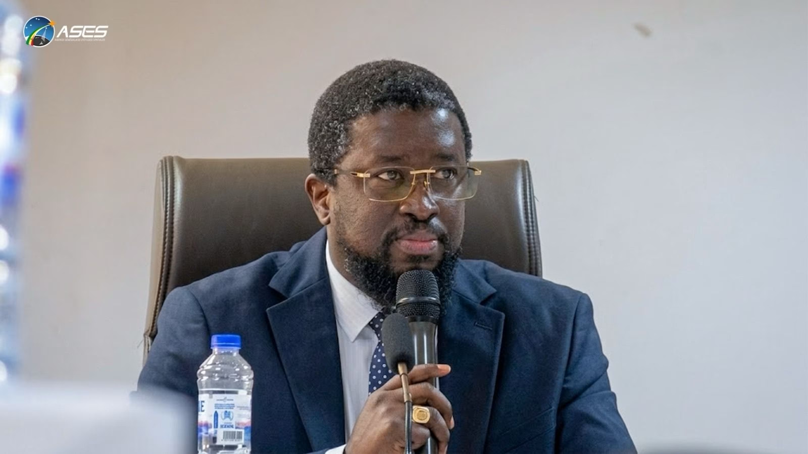
The Senegalese Agency for Space Studies (ASES) has organised a three-day workshop in Saly Portudal to advance the GEOAGRI-SEN project, a Banque Ouest Africaine de Développement (BOAD)- funded initiative aimed at strengthening the use of geospatial sciences, satellite data, and artificial intelligence in support of agricultural policy, transhumance management, and soil monitoring across the country.
Speaking at the opening, ASES Director General Mr Maram Kaire set the tone for the project’s ambition. “Space is no longer just a scientific or technological field; it is now a decision-making tool,” he said, adding that technology only creates value when it addresses the real needs of users.
Three Pillars, One Objective
The GEOAGRI-SEN project was presented by consultant Moussa Sall, who outlined its structure around three complementary pillars: promoting smart agriculture, enabling real-time management of transhumance, and strengthening soil monitoring systems. Together, the three pillars are designed to improve the collection and analysis of geospatial data to support policymakers, agricultural stakeholders, and local communities in making more informed decisions on productivity and sustainable land management.
A Collaborative Approach From the Start
The workshop brought together representatives from government institutions, research organisations, development partners, farmers, and livestock breeders. Participants were divided into three thematic working groups to refine project proposals and technical frameworks ahead of the feasibility study, ensuring that the initiative’s design reflects the realities of Senegal’s agricultural sector from the outset.
The collaborative sessions are expected to help identify priority needs, validate proposed interventions, and confirm that the technologies developed under GEOAGRI-SEN are grounded in the practical requirements of those who will ultimately use them.