
Kenya Launches National Framework to Govern Earth Observation Data

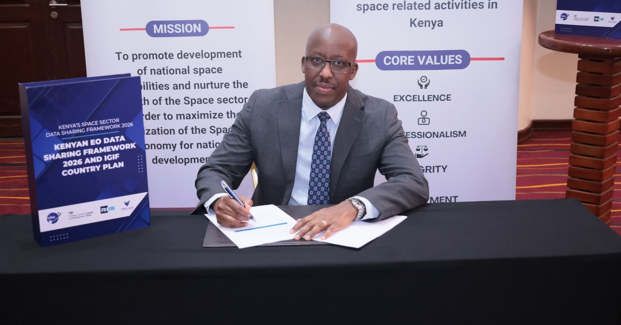
The Kenya Space Agency (KSA), in collaboration with the British High Commission in Kenya, the Research Institute for Innovation and Sustainability (RIIS), and VIFFA Consult, has formally launched the Kenya Earth Observation Data Sharing Framework 2026, establishing a unified platform for sharing satellite data across government, academia, and the private sector.
The framework represents a key pillar of the Kenya Space Agency Strategic Plan 2023-2027, which seeks to promote, develop, and implement data governance frameworks for space-derived information. The initiative consolidates Earth Observation (EO) data users and stakeholders, including government institutions, academic institutions, the private sector, and development partners, into a collaborative platform designed to maximise the value of space-derived data.
The framework introduces standardised data systems, interoperable platforms, and custodianship registries, whilst adopting FAIR data principles to ensure information is findable, accessible, interoperable, and reusable. This approach links satellite intelligence to applications in agriculture, urban planning, climate resilience, and national security.
National Earth Observation Data Council
As part of its implementation strategy, the framework will be operationalised by establishing the National Earth Observation Data Council (NEODC), formally established on 23 March 2026, following the adoption of the Malindi Declaration by key government and institutional stakeholders. The Council will serve as the central body responsible for the coordination, oversight, and strategic direction of EO data management in Kenya, ensuring effective governance and sustainable utilisation of space-based resources.
Chaired by the Kenya Space Agency, which also serves as the secretariat, the NEODC’s executive members include the Kenya National Bureau of Statistics, the Survey of Kenya, the National Land Commission, and the Directorate of Resource Surveys and Remote Sensing. These institutions form the core of the country’s geospatial and data management efforts.
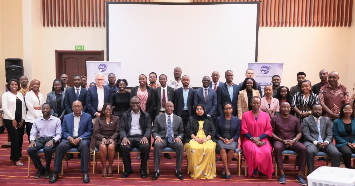
Inclusive Governance Structure
A wider group of members will support the council’s work through operational subcommittees, including the Council of Governors, the Independent Electoral and Boundaries Commission, the ICT Authority, the Kenya Meteorological Department, the Kenya Bureau of Standards, the Konza Technopolis Development Authority, and the Office of the Data Protection Commissioner. Professional bodies, universities, private companies, security agencies, civil society organisations, development partners, and United Nations agencies form part of the broader membership.
The governance structure brings together historically siloed public institutions in a framework designed to bridge longstanding gaps in data access. Backers of the rollout include the Institution of Surveyors of Kenya, the Food and Agriculture Organisation, and key land and resource management agencies.
Strategic National Alignment
The initiative aligns with major national development plans, including Kenya Vision 2030, the Bottom-Up Economic Transformation Agenda, the Digital Economy Blueprint, and existing legislation such as the Data Protection Act and the Statistics Act. Furthermore, it ties into the United Nations Integrated Geospatial Information Framework, a global guide that helps countries manage and use geographic data effectively.
The Luigi Broglio Space Centre in Malindi serves as a ground infrastructure hub, providing the link for transmitting and receiving signals from various space systems and specialised missions, supporting the technical implementation of the framework.
Core Objectives and Mission
The vision behind the NEODC centres on ensuring that decision-makers at all levels have access to reliable, up-to-date information to guide policies, investments, and emergency responses. Core goals include securing support and resources for Earth observation projects, strengthening the roles of institutions that produce and use such data, pushing for the official recognition of Fundamental Earth Observation Data Themes, and creating systems that make it easier to find, access, and reuse data across different organisations whilst ensuring all data use respects privacy and ethical standards.
Implementation and Regional Leadership
With the NEODC now in place, Kenya aims to position itself as a regional hub for the innovative use of space and geographic data. The council is expected to begin its work immediately, focusing on building cooperative systems, encouraging data sharing, and ensuring that the benefits of Earth observation reach citizens through improved services, enhanced planning, and more resilient communities.
The launch of the Kenya Earth Observation Data Sharing Framework 2026 represents a landmark achievement in reaffirming the nation’s commitment to harnessing space science, technology, and data for sustainable development, innovation, and socio-economic growth, whilst ending reliance on foreign-controlled systems for satellite intelligence captured above Kenyan territory.